[ad_1]
Central Ohio Weather and Radar
COLUMBUS, Ohio (WCMH) — With meteorological fall here and the fall feel in the air, many are wondering if this pleasant late summer weather will continue through fall and into the winter?
First, I say this every year, and it really is good to remind everyone of it: One of the bigger drivers of seasonal outlooks is the forecast for El Niño, La Niña or neutral patterns. No matter the seasonal outlook for our upcoming winter, we can count on warm days, cool days, wet days, dry days and even some snowy days. These occur every winter.

Now, on that note, this past winter did not have many large snow events. In fact, our largest daily snowfall only clocked 2.4″ on Jan. 6. However, the two-day event totaled about 4.5″ of snowfall and was part of more than half a foot that fell within three days. What is crazy is if you asked most people if the past winter was snowy or not, I am sure almost anyone would say not. However, January saw nearly a foot of snow, more than 2″ above normal.

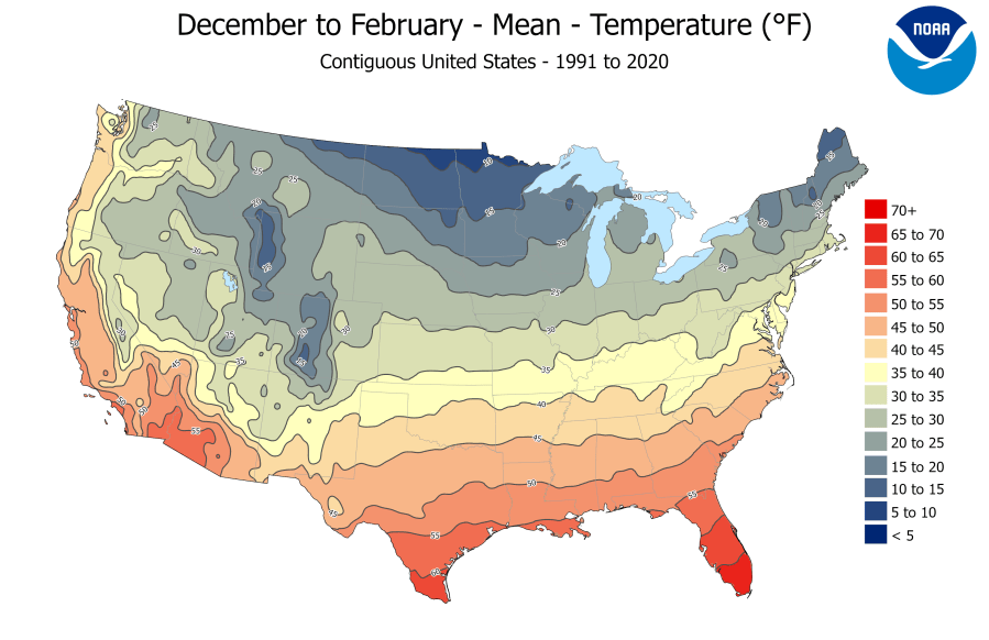
But in general, the season was such a bust (snow-wise), especially in December and February. In those two months, in total, we picked up just more than 2″ of snowfall! For the entire winter 2024-25 season (including the 0.1″ we picked up in November), we only totaled 14.8″ for the season, about a foot below normal. But that was also the snowiest winter we had had in five years, when we had more normal snowfall in 2020-21. We are due for a snowy winter, actually, with the last “snowy” winter (+6″ or more) back in 2014-15.
OK, so this time last year, we had more of a stronger El Niño in winter and spring, and then went neutral by this time of the year. The outlook was for us to be in a weak La Niña pattern into winter. Guess what? That is more or less the same forecast again for this year, with a possible even weaker La Niña to near neutral pattern.

So what happens in a La Niña pattern? Generally speaking, a La Niña pattern for the winter will set up in our part of the country with near normal temperatures and wetter than normal conditions for the winter. But this pattern can be highly dependent on where the Polar Jet Stream sets up for the winter. In addition, if fall temperatures trend warmer later into the season, we could have more wide-open Great Lakes, too.
When clipper systems come out of Canada in the winter with wide-open (non-iced-over) lakes, this can lead to heavier-than-normal snowfalls in the lake effect snow zone. On top of that, jet stream locations do not stay in one place for that long no matter the time or the season, and will shift, dip, rise, and sometimes flatten out. This leads to my earlier point that we will still experience the same crazy weather that we do EVERY SINGLE WINTER. We live in a fun part of the country where a small shift in the weather pattern does and will mean a big shift in the weather.
According to the Climate Prediction Center at NOAA, it does appear that we will remain in a weak La Niña pattern for fall into early winter, then the pattern should revert back to a more neutral pattern heading through the bulk of winter for our area.
The three-month outlooks from NOAA for the meteorological winter months of December-January-February look quite similar to last year’s forecast for the same period, issued at the same time.

A year ago, our outlook showed a signal for near-normal to slightly better chances of above-normal chances for the three-month period. Temperatures ended up being below normal because of the cold January.

The precipitation outlook does look for a bit better chance for wetter-than-normal weather during the period. Last year, we had a stronger signal for wetter weather, and it did pan out, as we ended the three-month period above normal for precipitation. However, it should be noted that snowfall was well below normal during the period.
Even though January was snowier than normal, the month was still drier than normal for overall precipitation. January 2025 was for sure a colder, drier month, where we were nearly 6 degrees below normal, and almost 2 inches below normal for total precipitation, and 2 inches above normal for snowfall.
The overall outlook from NOAA for the upcoming winter 2025-26 season does appear to be in line with a forecast for a weak La Niña to neutral pattern. Obviously, in any given winter weather season, there are other, more day-to-day and weekly weather variables that we can track as well. These are hard to predict far out, especially this far out. These can have shorter-term impacts on the weather. If one of these features were to cause a strong cold snap or a heavy snowfall, that could greatly impact the final numbers for snow, precipitation, or even, to a lesser degree, the overall temperatures for the three-month winter period.
[ad_2]
Source link